
When the Get Elevation from Terrain feature is activated in the Terrain toolbar, a elevation point is defined by clicking on a location, and the approximate elevation of the terrain at that point is assigned to it. The terrain will be updated according to each elevation point created.
If the elevation of the terrain at the clicked points is to be obtained, the Level Dimension command can be used.
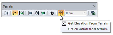
Location of the Get Elevation From Terrain Command
You can access it from the terrain toolbar that opens when the elevation point command is clicked.
Usage Steps
-
Click the elevation point command.
-
Check the Get Elevation From Terrain feature from the terrain toolbar .
-
Click on the intended point on the terrain.
-
At the point you click, the approximate elevation of the terrain at that location will be taken, and a elevation point will be created.
|
Usage step |
|---|
|
Determination of the point where the elevation point will be placed 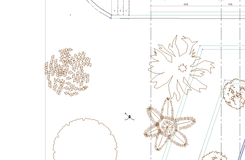
|
|
Creating a elevation point from the approximate elevation at the clicked point 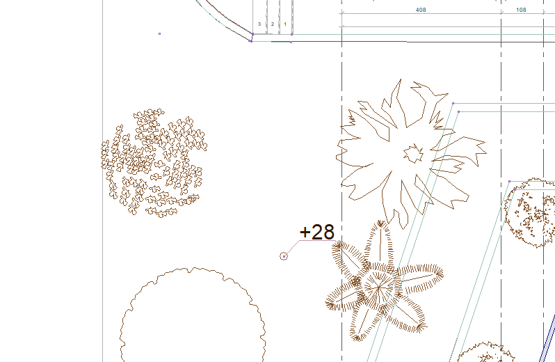
|
|
Determination of the point where the elevation point will be placed 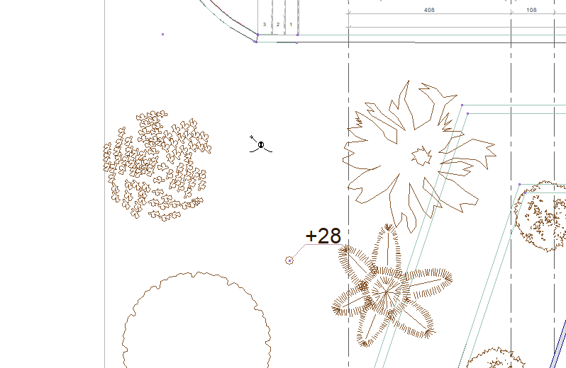
|
|
Creating a elevation point from the approximate elevation at the clicked point 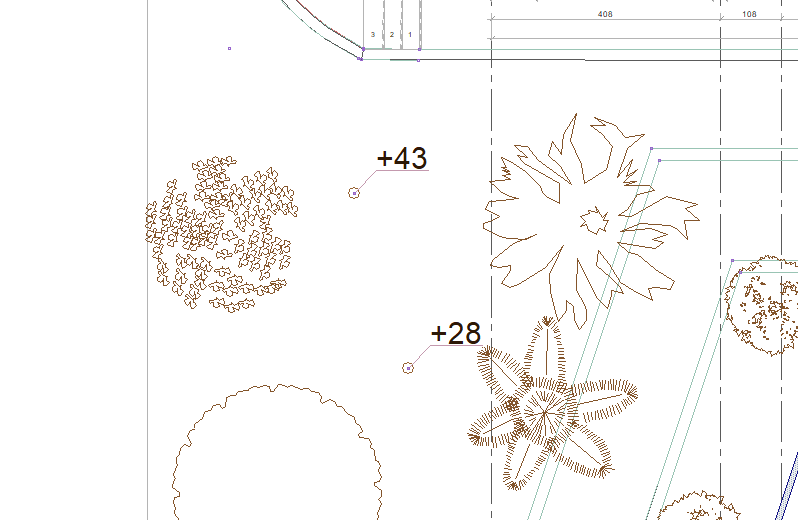
|
Next Topic