
The Elevation Line creates elevation points along a line drawn on the terrain. The relevant elevation values are also shown as elevation measurements. If necessary, the elevation values of the line can be changed by entering the properties of the elevation line.
Location of the Elevation Line Command
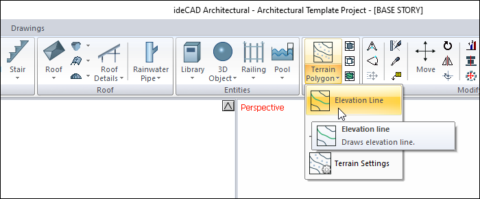
In the Architectural Program
You can access it under the ribbon menu Home tab Terrain title.
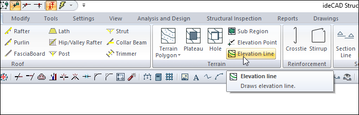
In Structural Program
You can access it under the ribbon menu Objects tab Terrain title.
Usage Steps
-
Click the Elevation Line icon in the ribbon menu .
-
The Path Segments toolbar that opens when the elevation line is clicked contains icons used to draw a straight, circular and curved line. Click the appropriate icon according to the situation.
-
Click a points on the terrain. While giving the points, write the elevations of the points in the Elevation box.
-
There will be an elevation line.
|
Usage step |
|---|
|
Terrain before the elevation line is given 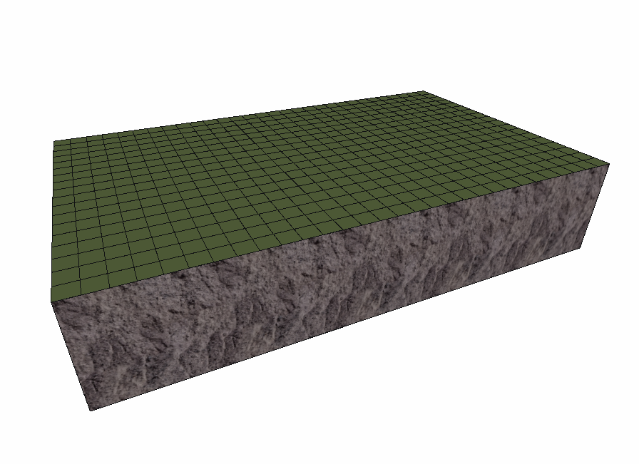
|
|
Entering the elevation value (50 cm) into the field toolbar that is opened while in the elevation line command. |
|
Creating the first point of the elevation line by clicking the left mouse button 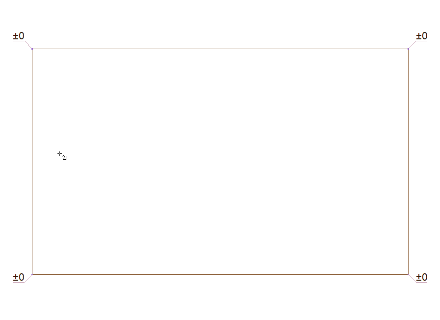
|
|
Creating the second point of the elevation line 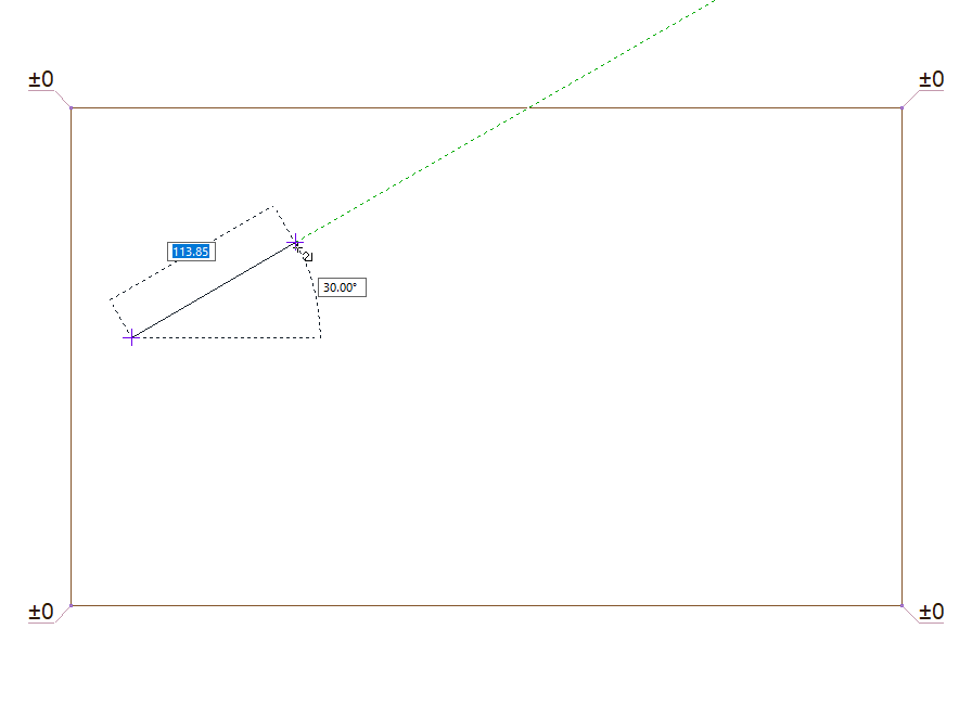
|
|
Creating the third point of the elevation line 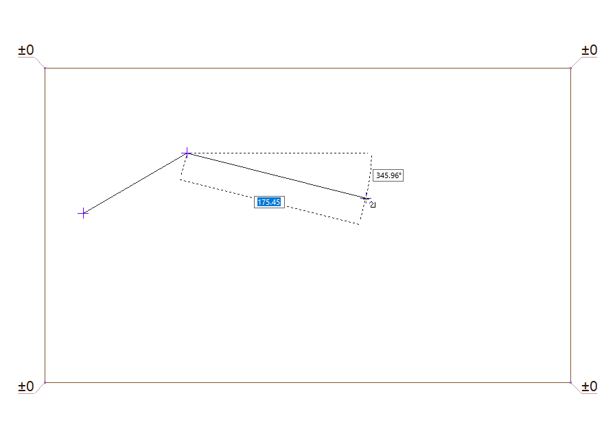
|
|
Creating the last point of the elevation line 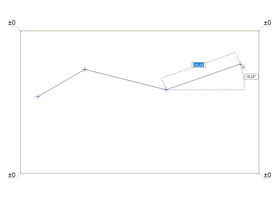
|
|
Exiting the elevation line command by clicking the right mouse button 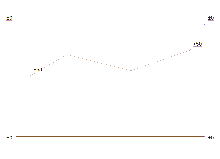
|
|
Terrain after giving the elevation line 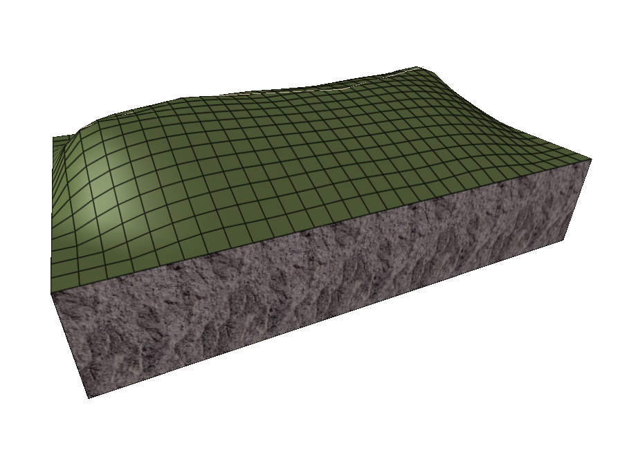
|
Location of the Elevation Line Settings Dialog
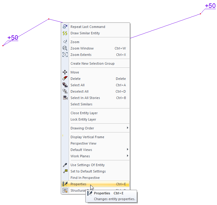
Select the elevation line you want to enter its settings and click the Properties line from the menu that opens by clicking the right button of the mouse .
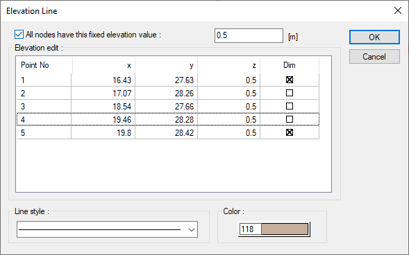
Elevation Line Settings
|
Specifications |
|---|
|
Elevation edit 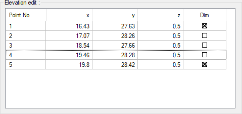
The coordinates of the elevation points placed are given. If wanted, a new value can be entered in the z box. |
|
All nodes have this fixed elevation value The feature is activated and the value entered here is applied to all elevation points. |
|
Color It is the color of the elevation line in the plan. When the color box is clicked, the appropriate color is selected from the window that opens. |
|
Line type The line type of the elevation line in the plan is selected. Clicking the down arrow buttons to the right of the boxes opens the list of line types. From this list, the desired line type is selected by clicking with the left mouse button. |
Next Topic